

Words and Photos by Henrylito D. Tacio
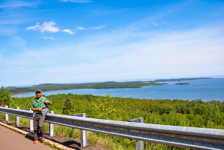
Each time I travel to Minnesota in the United States, I am always drawn to the vast expanse of water that captures my attention. I am speaking of Lake Superior, which resembles an ocean. A view of the lake can be seen when visiting Duluth, the fifth largest city in the state.
During my recent trip to the United States, I once again had the chance to admire the lake, which holds 10% of the world’s surface water! My sister Elena intended to take me to North Shore, the stretch of Lake Superior’s shoreline that extends from Duluth to Ontario, Canada. This shore is known for its cobblestone beaches, rugged cliffs and ridges, picturesque rivers, waterfalls, and forested hillsides.
My sister and her husband, Engr. Daniel Chase, lives in Grand Rapids, Minnesota. There’s another Grand Rapids and it is in Michigan. Since we would be leaving at 9 in the morning, I had to wake up early and do the necessary things like having a shower, donning a lot of clothes (as it was very cold outside), and having breakfast.
The travel time was more than two hours from my sister’s place to the North Shore. But before proceeding to see the lake in this part of the United States, we went to see Temperance River first, which is located between the communities of Schroeder and Tofte on Highway 61. It has campsites, picnic areas and hiking trails on both sides of the river.
Historical accounts said the Temperance Rivers were first permanently inhabited by Europeans in the 1830s. Settlers had to decide what to name various geographical features. When the geographical surveyors came through the area in 1864, they noticed that one particular river ran into water which was so deep that no sand bar formed at the mouth. Because there was no “bar” that river was named “Temperance.”
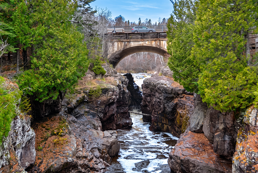
We hiked up the river over a ledge rock trail to see Hidden Falls and the dramatic “drill-bit” gorges. If you are interested in visiting this place, be sure to go there with proper shoes; the trail is mostly rock, with a short uphill climb.
It’s not only the Hidden Falls that are awesome to watch but the river as well. The waters have sliced a narrow canyon through the ledge rock, where the intensely spinning waters cut the rocks like drill bits.
From there, we walked to the North Shore. We did some picture taking here and there. And of course, I had to touch the water. It is indeed fresh (no, I didn’t taste the water, but I can feel it).
Marveling at its beauty, it looks like an ocean. It has its own tide and waves. The maximum wave ever recorded was 9.45 meters – or 31 feet high.
If you’re wondering how huge Lake Superior is, consider this fact: it covers 82,103 square kilometers with an average depth of 147 meters (483 feet). The deepest point in the lake, I was told, is 405 meters (1,333 feet).
In comparison, Laguna Lake covers merely 912 square kilometers. This indicates that approximately 90 Laguna Lakes are required to equal the size of one Lake Superior. Davao City, recognized as the largest city in the country by land area, spans around 2,444 square kilometers. Consequently, around 34 Davao Cities are necessary to form just one Lake Superior.
If you stretched the shoreline of Lake Superior out to a straight line, it would be long enough to reach from Duluth, Minnesota to the Bahamas (a country of 700 islands and cays in the Atlantic Ocean). If its shoreline were unraveled into a highway, it would extend 2,938 kilometers, the distance from Duluth to Miami.
By surface (about the same size as Maine), Lake Superior is the largest freshwater lake in the world. It is said that there is enough water in Lake Superior to cover all of North and South America with water one foot deep. If all the waters were drained from North America, Lake Superior would be the lowest point of land on the continent.
Because of its huge size, Lake Superior has a retention time of 191 years. Retention time measures how long water stays in the lake, based on volume and the mean rate of outflow. It contains three quadrillion (3,000,000,000,000,000) gallons of water or 11,400,000,000,000 liters.
But Lake Superior might not actually be the largest lake in the world. In terms of area, it’s the Caspian Sea, which lies between Europe and Asia. It covers a surface area of 371,000 square kilometer, an area approximately equal to that of Japan.
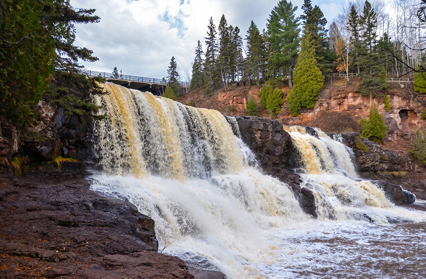
We stayed for about thirty minutes on the North Shore as it was windy and cold. Next, we proceeded to Gooseberry Falls State Park, which is in Silver Creek Township. The park surrounds the mouth of the Gooseberry River and includes Upper, Middle and Lower Gooseberry Falls.
You can take a short accessible trail to the Upper and Middle Falls or hike the longer almost two-kilometer falls loop trail. From a distance, you can see a loop around the falls and watch the dramatic panorama of water flowing over the cascading cliffs.
Another suggestion: You can drive to the picnic flow area to explore the basalt rock shore and pebble beaches of Lake Superior.
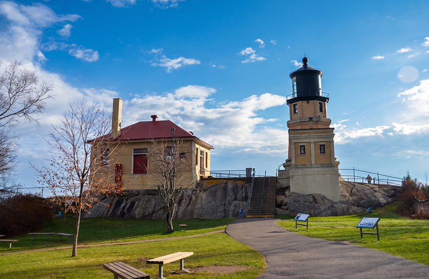
We ended our Lake Superior tour at the Split Rock Lighthouse in Silver Bay, where we experienced the sights, the history, and the technology behind the signature Minnesota landmark anchored on the rocky coast of Lake Superior.
“A November gale that wrecked nearly 30 ships in 1905 prompted this rugged landmark’s construction,” so goes the story. “While the U.S. Lighthouse Service completed Split Rock Light Station in 1910, it soon became one of Minnesota’s best-known destinations.”
However, when new navigational technology emerged, the use of lighthouses as navigational tools declined. This lighthouse was closed in 1969 by the US Coast Guard. On June 30, 2011, it was designated as a National Historic Landmark.
As it was fully restored to its original 1910 construction, you can see the lighthouse itself, as well as the fog signal building, oil house, and fully restored keeper’s house. While seeing them, you’ll discover the reasons why light stations were built on the cliffs, the challenges facing families who lived here, and the impact of an industry that shaped the world. It’s a self-guided tour so you can explore the site on your own.
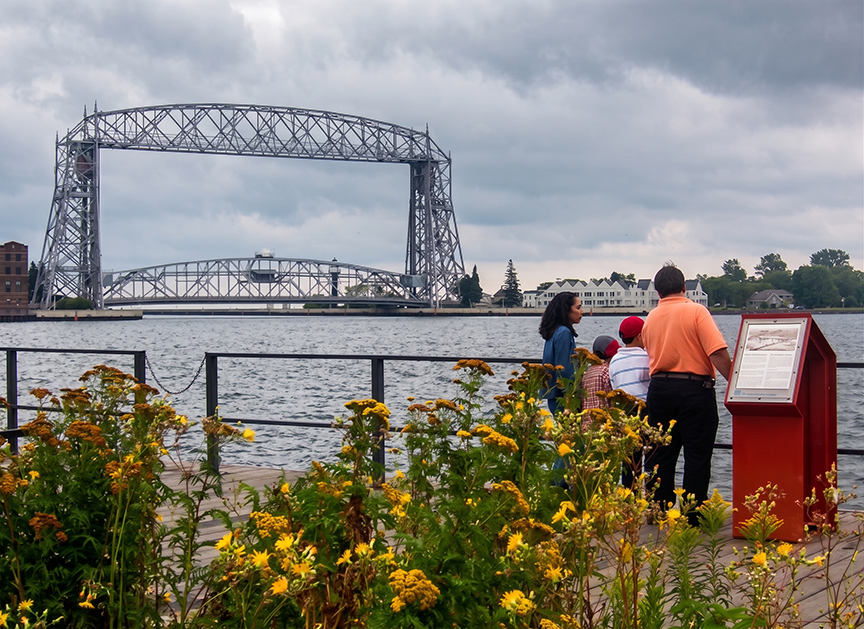
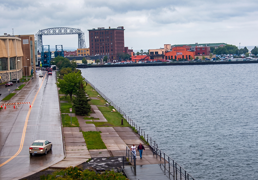
However, the most ideal location to experience Lake Superior in close proximity remains at Duluth. You can view it from any of the following attractions:
Aerial Lift Bridge: A historic structure that crosses the Duluth Ship Canal, providing breathtaking views of the harbor and Lake Superior.
Canal Park: A lively center that includes picturesque overlooks, shops, and dining options, making it an excellent spot for relaxed strolls along the so-called “lakewalk.”
Enger Tower: Situated in Canal Park, this tower presents sweeping views of the city and harbor from its height of 80 feet.—###










Leave a Reply